APRIL Appoints Independent Third Party to Monitor and Analyze Land Change
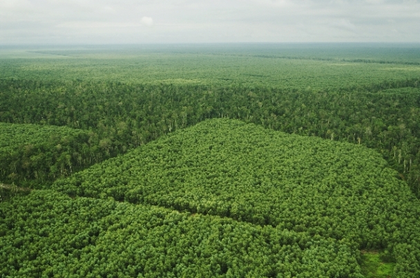
As part of our commitment to transparency, APRIL appoints PT Hatfield Indonesia to monitor and analyze land changes within mixed hard wood post harvest areas on Pulau Padang and Malinau.
Below is the News Release from PT Hatfield Indonesia:
Jun 11, 2015
It is estimated that land cover and land use change contributes to more than 80 percent of Indonesia’s annual greenhouse gas (GHG) emissions. The Government of Indonesia (GoI), with support from the international community, is taking steps to improve forest and peat-land monitoring processes and governance issues to reduce GHG emissions and contribute to global efforts to mitigate climate change. This falls under the implementation and monitoring program for the indicative moratorium map (IMM). By extending the moratorium and revising it every six months, Indonesia has reaffirmed its commitment to sustainable development. Recently, the GoI released the Presidential Instruction No. 8/2015 and followed by the Minister of Environmental and Forestry Decree No. 141/MENLHKVII/2015 concerning the IMM Revision VIII.
As a leading player in pulp and paper production, APRIL Group, through its’ published APRIL Sustainable Forest Management Policy (SFMP) Commitments – Action Plan 2015, has committed to follow these regulations. To ensure implementation of the SFMP, APRIL contracted Hatfield Indonesia as an independent third party to monitor and analyze land change within mixed hard-wood (MHW) post-harvest areas on the Padang Island concession (1,012 Ha) in Riau Province and the PT Adindo Hutani Lestari concession in North Kalimantan (22,000 Ha). The scope of Hatfield’s study includes:
- Provision of a baseline map derived from high resolution satellite imagery analysis acquired on approximately May 15th 2015, with a target baseline established by May 31, 2015;
- Provision of monthly land change detection reports on the MHW moratorium and monitor changes in status until December 2015 using a one-hectare minimum mapping unit; and
- Conducting MHW volume tracking assessments to ensure no new wood is sourced from forests or log ponds other than those harvested pre-May 2015.
The results of this study will be published on the www.landmonitoring.com website and the first baseline report will be available on June 30, 2015. Hatfield will release monthly land cover change analysis reports, from July to December 2015.


